
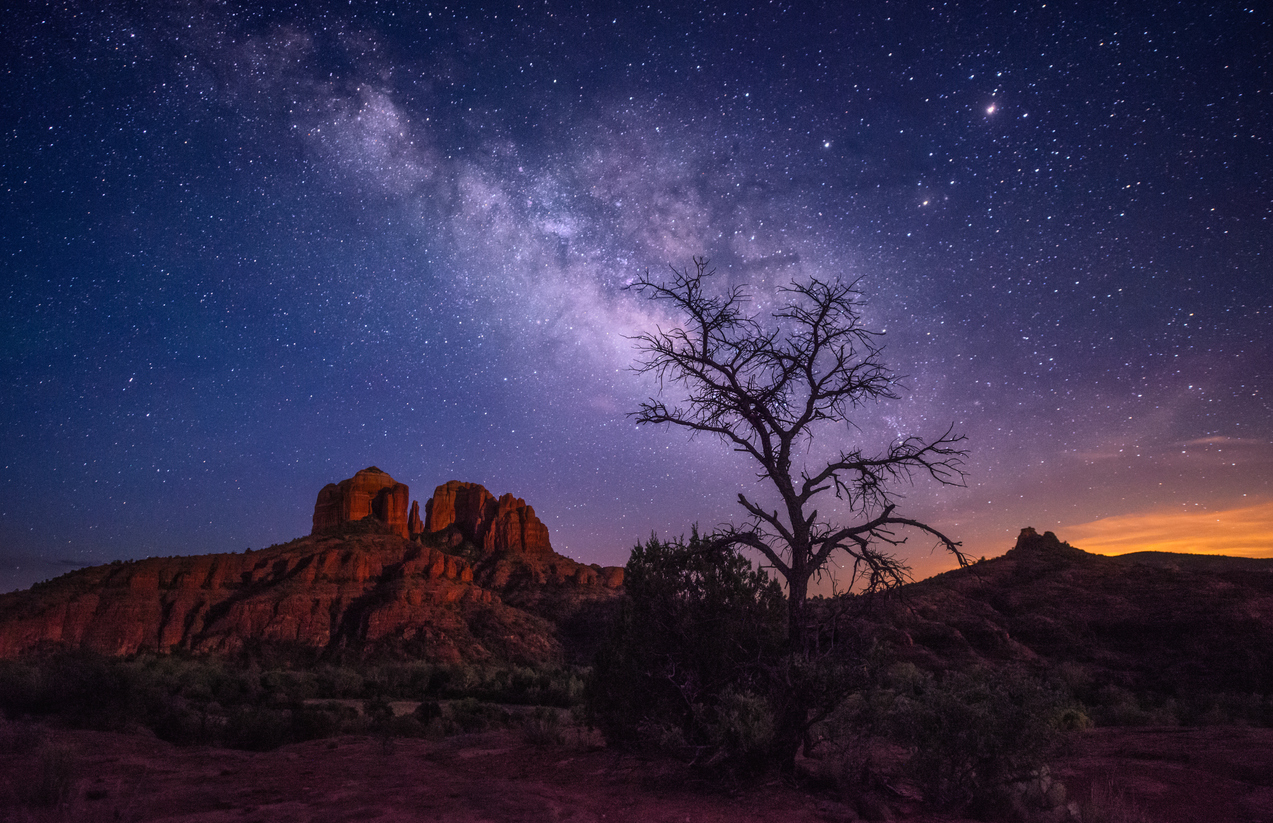
Sedona is in Northern Arizona
Northern Arizona is a spectacular region with juniper, pinon, and huge ponderosa pine forests. It boasts gigantic canyons, desert riparian areas, and incredible rock formations. High desert regions lie beneath the Colorado Plateau, a massive, thick crust that rises roughly 3,500 feet. Consequently, without this unique formation, the beauty of Sedona would not have been uncovered. The geology of Sedona changes from one area to the next. Overall, it’s fun to have such diversity in one area for hiking, swimming, fishing, camping, mountain biking, and more!
The Extremes of Elevation
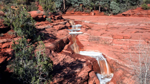
Approximately 4,500 feet above sea level, Sedona sits at the base of the famous Colorado plateau. This is known as the Mogollon Rim. Flagstaff, only 45 miles north, sits firmly at an impressive 7,000 feet, on the plateau. This historic town is surrounded by volcanic mountains. From the resulting cliffs, creeks like Oak Creek, Clear Creek, and Fossil Creek burst from the freed aquifers. Simultaneously, this hydrates an otherwise desert climate while creating a unique and spectacular region.
Volcanos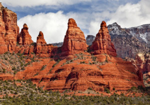
Before the Colorado Plateau shifted upwards, volcanos had erupted, leaving a layer of lava basalt still clearly visible from Sedona. You can literally see the edge of the basalt at the top of the rim. The upward lift of the Colorado Plateau broke through the basalt, exposing the ancient sedimentary layers below. Basically, the extreme elevation change began the process of erosion through the exposed sandstone. Sandstone erodes quickly, carving the many canyons that are famous in the area.
An Impressive List for The Geology of Sedona
The sandstone of Sedona is iron rich from centuries past as an ancient sea bed. This same quality is seen up on the Colorado Plateau at Grand Canyon and in Utah. Markedly, the result is a spectacular view into the past, forming the beauty of nine National Parks like the Grand Canyon, Zion, Bryce Canyon, Capitol Reef, Canyonlands, Arches, Mesa Verde, and Petrified Forest. Among the Colorado Plateau’s 18 National Monuments are Bears Ears, Rainbow Bridge, Dinosaur, Hovenweep, Wupatki, Sunset Crater Volcano, Grand Staircase-Escalante, and Natural Bridges. As well as, Canyons of the Ancients, Chaco Culture National Historical Park, and the Colorado National Monument.
Sedona’s Wupatki and Walnut Canyon offer geological and human history highlights. Sunset Crater showcases the amazing volcanic history.
The impressive red rocks of Sedona are formed by a layer of sandstone called the Schnebly Hill Formation. This is a thick layer of red-to-orange-colored sandstone found only in the Sedona area. Evidently, fault lines running across the Sedona area further opened up areas of erosion. Some layers erode faster, some slower, leaving tall pillars. Each layer of stone can be studied for unique fossils, telling a history billions of years old.
Redwall Limestone
Formed between 300 and 340 million years ago, the Redwall Limestone is the lowest strata visible in the Sedona region. It is dark brown in color, up to 300 to 600 feet thick, and contains fossils of clams, snails, fish, trilobites, and brachiopods.
In the Grand Canyon region, the Redwall Limestone is known to contain cave complexes. In the Sedona region, no caves are known. However, there are several locations near Sedona where sinkholes have formed in the overlying Schnebly Hill and Hermit strata. One example is the huge Devil’s Kitchen sinkhole, which collapsed in the late 1800s and is almost 200 feet deep. Mainly, all of the sinkholes occur along faults in the Schnebly Hill/Hermit formations and channel water down to the Redwall. Therefore, the sinkholes are likely due to large solution caves formed over millions of years in the Redwall. They have just grown too large to support the overlying sandstone.
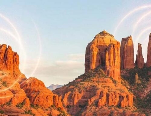
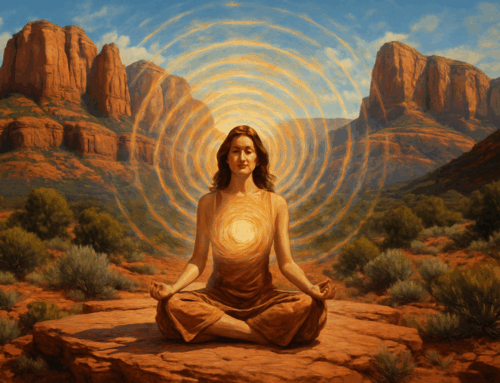
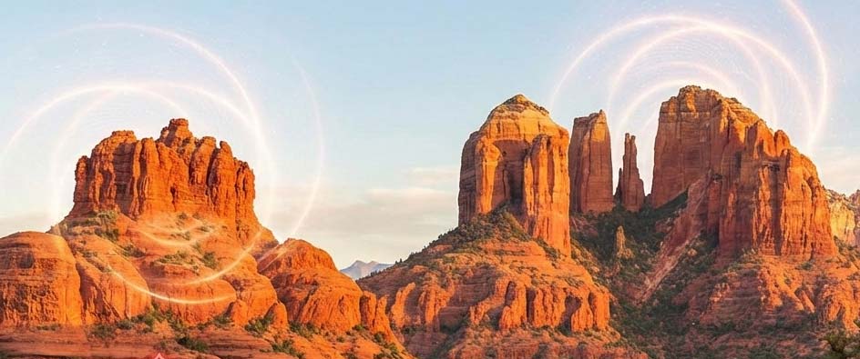
Hike through the Red Rock Vortexes while on a SpiritQuest Retreat and Release Negative Energy
Experience the Geology of Sedona Yourself
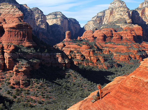
Doe Mountain Trail is great for showcasing the entire Sedona area, as well as, seeing first-hand the importance of the plateau effect for Sedona geology. Jim Thompson is interesting because it is set right below the Mogollon rim and at times the lava Basalt cap of the Mogollon rim is seen up on Wilson mountain and surrounding cliffs. It is the dark layer at the very top, like a dark layer of icing on a cake. Moreover, it appears very different than the red sedimentary layers below.
